Today I decided it was time to explore this ribbon of trail goodness. What I found was the lower portion of the trail looked new, like they were still working on it new, but the further up I went the more clear it was that this had been a project in the works for several years. By the upper 2/3rds the trees removed from the corridor appeared to have been taken out several seasons ago and it appeared that it was following a corridor of a trail from before the burn (the Buffalo Creek area has been hit by two significant fires, the Buffalo Creek fire in 1996 and the High Meadow fire in 2000. The Buffalo Creek fire led to numerous trails being closed that only gradually reopened with a lot of lobbying and hard work on behalf of volunteers).
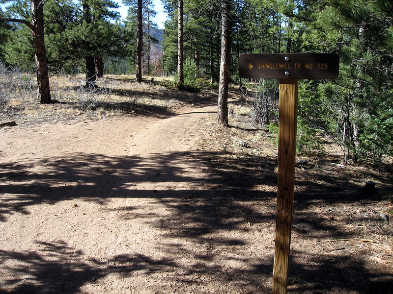
The trail climbs up from 543 steeply at first and then flattens out toward the top, covering about 1,100' over the length of the climb (about 6.5 miles from the trailhead on 543 at the bottom) where it intersects the Buffalo Burn trail, which eventually runs into the Colorado Trail near Hwy 126 and FDR 550. I continued along the CT to Shinglemill, which I descended back to 543. While descending 543 a mountain biker stopped me to ask what I'd hiked today and I tried to explain and he referred to the new trail as Lil' Kitty. Not sure if that's the name, but that's the best I've got for a name.
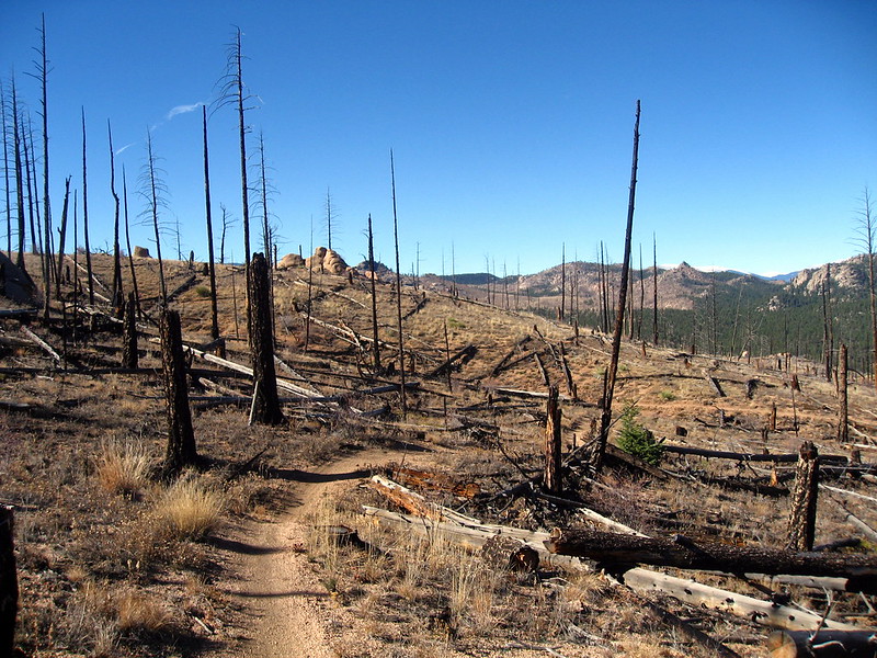
Part of the long climb up Lil' Kitty looking back
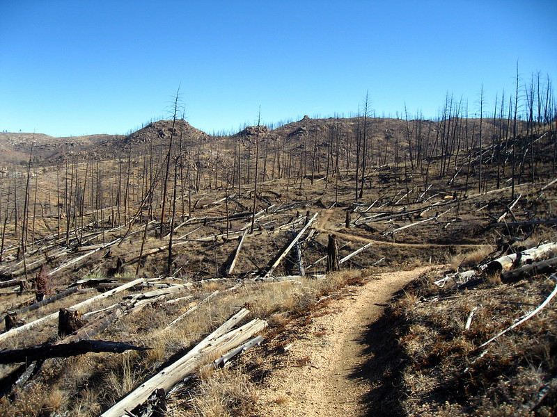
Looking up Lil Kitty
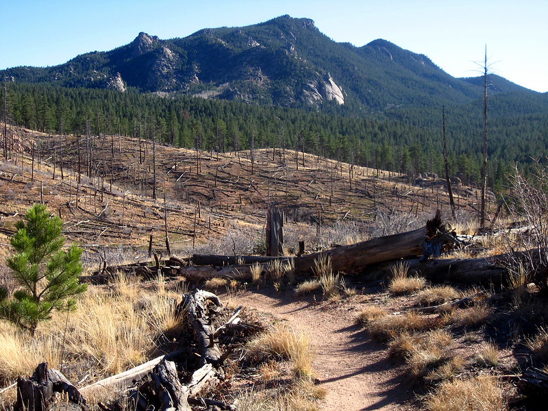
Finally heading downhill!
The only uncomfortable moment was about 3/4 of the was up the climb when I saw a very large gathering of ravens on the other side of the drainage. One landed on a rock about 100 yards from me and dropped a 6"+ long strip of blood-red meat on the rock before flying away, harassed by other ravens. As I left the area the ravens all landed on the same area, apparently fighting over a carcass. Who knows what killed whatever it was, but in that kind of terrain one's mind quickly goes to mountain lions. There were a lot of deer in the area, mostly does in groups of 6-7, some with bucks. I also saw several nice looking 4-point bucks in the area without harems.
Ending mileage was 15.7 miles, 4:26:12, and a 16:58 average pace. It was all hiking this time.
Note the trail name is Nice Kitty, not Lil' Kitty. After talking with my former boss, the name comes from the volunteer trail crew who put in the trail and talked about being stalked by a mountain lion the whole summer.
ReplyDeleteyowza! yep - that's the one thing that scares me about trail running - mtn lions. I heard they like little people. I've been wanting to run out that way....probably wait until next year tho...
ReplyDelete